Blake Island (Antarktika)
Insel vor der Antarktischen Halbinsel
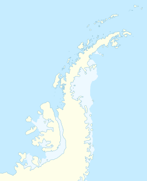
Blake Island ist eine 2,5 km lange, schmale und eisfreie Insel vor der Nordwestküste der Trinity-Halbinsel am nördlichen Ende der Antarktischen Halbinsel. Sie liegt in der Bone Bay und ist die größte Insel der Islotes Laura.
| Blake Island | ||
|---|---|---|
| Gewässer | Bone Bay | |
| Inselgruppe | Islotes Laura | |
| Geographische Lage | 63° 38′ 56″ S, 59° 1′ 49″ W | |
|
| ||
| Länge | 2,5 km | |
| Einwohner | unbewohnt | |
Der Falkland Islands Dependencies Survey kartierte die Insel im Jahr 1948. Das UK Antarctic Place-Names Committee benannte sie 1959 nach dem britischen Seemann Pattrick John Blake (1798–1884), Midshipman auf der Brigg Williams während deren Erkundungsfahrt zu den Südlichen Shetlandinseln und zur Bransfieldstraße im Jahr 1820.
Weblinks
Bearbeiten- Blake Island. In: Geographic Names Information System. United States Geological Survey, United States Department of the Interior, archiviert vom (englisch).
- Blake Island auf geographic.org (englisch)
