Datei:Na h-Eileanan Siarcouncil.PNG
Größe dieser Vorschau: 480 × 599 Pixel. Weitere Auflösungen: 192 × 240 Pixel | 384 × 480 Pixel | 615 × 768 Pixel | 820 × 1.024 Pixel | 1.641 × 2.048 Pixel | 2.733 × 3.411 Pixel
Originaldatei (2.733 × 3.411 Pixel, Dateigröße: 216 KB, MIME-Typ: image/png)
![]()
Diese Datei und die Informationen unter dem roten Trennstrich werden aus dem zentralen Medienarchiv Wikimedia Commons eingebunden.
![]()
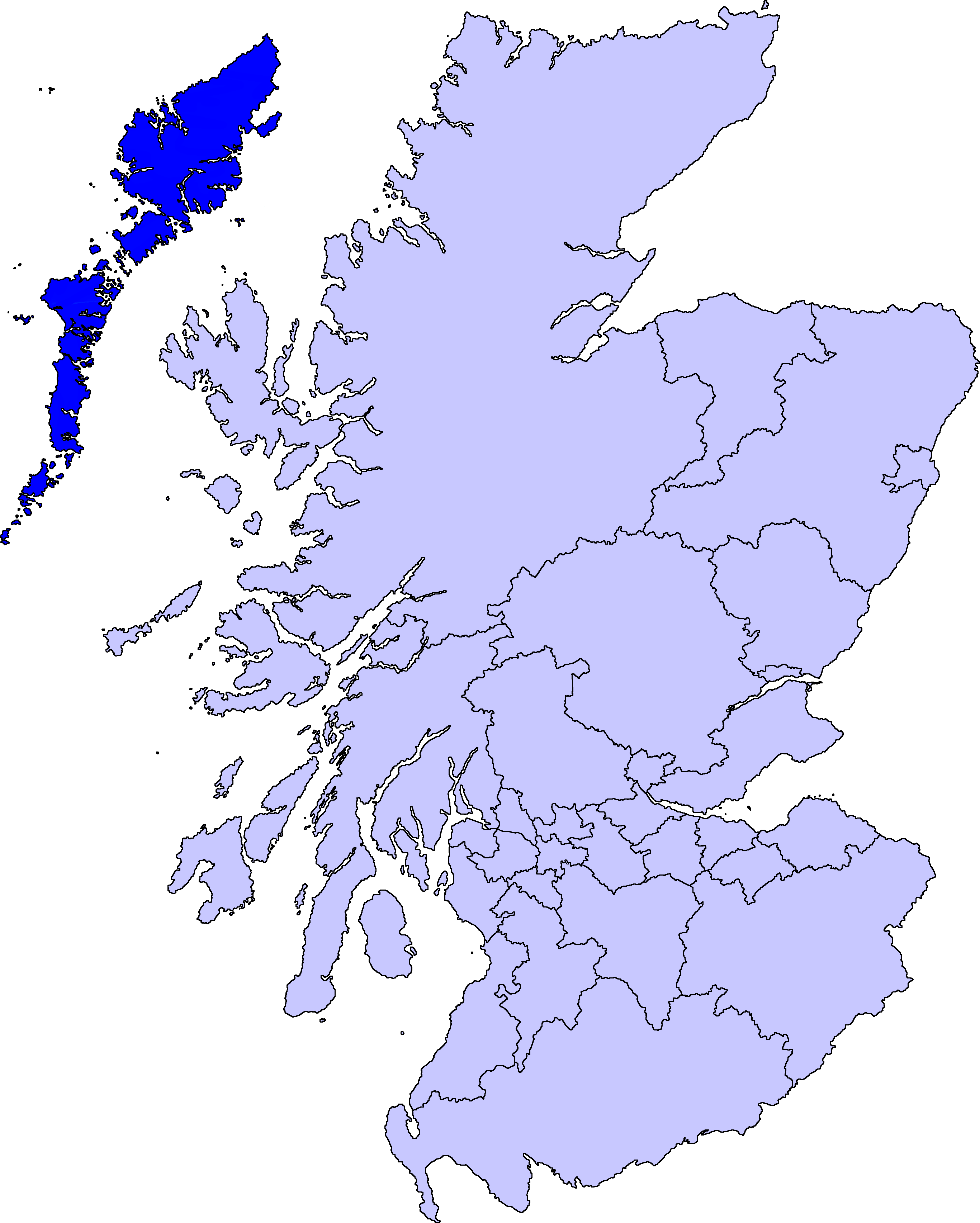
| Beschreibung | map of Na h-Eileanan Siar | ||||||||
| Datum | |||||||||
| Quelle |
Barryob, der Nutzungsrechtsinhaber dieses Werkes, veröffentlicht es hiermit unter der folgenden Lizenz:
|
||||||||
| Urheber | User:Barryob |

Dateiversionen
Klicke auf einen Zeitpunkt, um diese Version zu laden.
| Version vom | Vorschaubild | Maße | Benutzer | Kommentar | |
|---|---|---|---|---|---|
| aktuell | 06:55, 10. Apr. 2007 | | 2.733 × 3.411 (216 KB) | Barryob | |
| 23:52, 8. Apr. 2007 |  | 2.733 × 3.411 (217 KB) | Barryob | ||
| 05:32, 31. Mär. 2007 |  | 2.733 × 3.411 (217 KB) | Barryob | {{Information |Description=map of Na h-Eileanan Siar |Source={{GFDL-user|Barryob}} |Date=2006-03-31 |Author=User:Barryob |Permission= |other_versions= }} Category:Maps of unitary councils of Scotland |
Dateiverwendung
Die folgende Seite verwendet diese Datei:
Globale Dateiverwendung
Die nachfolgenden anderen Wikis verwenden diese Datei:
- Verwendung auf af.wikipedia.org
- Verwendung auf ast.wikipedia.org
- Verwendung auf br.wikipedia.org
- Verwendung auf en.wikipedia.org
- Lochboisdale
- Vallay
- Barra Isles
- Sandray
- Eilean Dòmhnuill
- Rodel
- Loch Erisort
- North Lochs
- Park, Lewis
- Knock, Isle of Lewis
- Boreray, North Uist
- Sgeotasaigh
- Tahay
- Portnaguran
- West Side, Lewis
- Pabbay, Harris
- Gravir
- Barvas
- Habost
- Shillay
- Aird, Lewis
- Ardhasaig
- Balallan
- Airidh a' Bhruaich
- Bragar
- Lochmaddy
- Hushinish
- Template:WesternIsles-geo-stub
- Tarbert, Harris
- Benbecula Airport
- Northbay
- Loch Seaforth
- Skigersta
- Broker, Lewis
- Flesherin
- Steinacleit
- Melbost
- Bayble
- Aird an Rùnair
- Callanish II
- Callanish III
- Callanish IV
- Callanish VIII
- Clisham
- Gress
- Shulishader
- Leurbost
Weitere globale Verwendungen dieser Datei anschauen.