Datei:Map of Kagawa Prefecture Ja.svg

Originaldatei (SVG-Datei, Basisgröße: 597 × 409 Pixel, Dateigröße: 14 KB)
![]()
Diese Datei und die Informationen unter dem roten Trennstrich werden aus dem zentralen Medienarchiv Wikimedia Commons eingebunden.
![]()
Beschreibung
| Beschreibung |
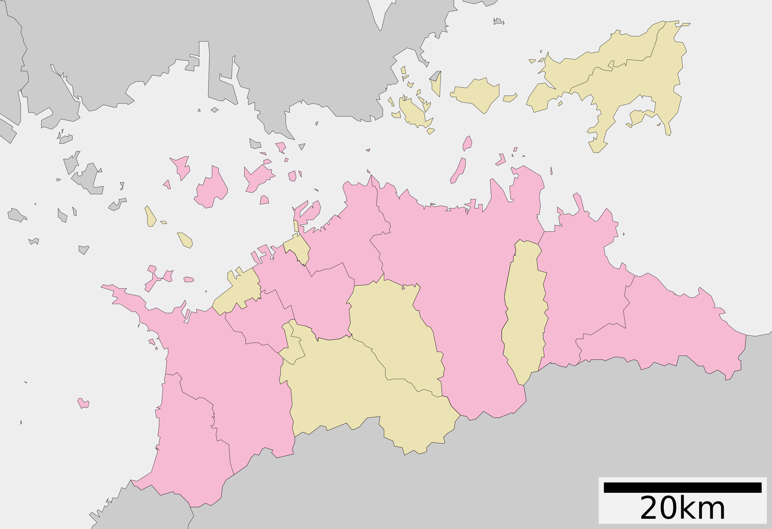
English: Map of Kagawa prefecture, Japan.
日本語: ja:香川県区画図 |
||
| Datum | (UTC) | ||
| Quelle |
|
||
| Urheber | Lincun | ||
| Genehmigung (Weiternutzung dieser Datei) |
|
Lizenz

|
Es ist erlaubt, die Datei unter den Bedingungen der GNU-Lizenz für freie Dokumentation, Version 1.2 oder einer späteren Version, veröffentlicht von der Free Software Foundation, zu kopieren, zu verbreiten und/oder zu modifizieren; es gibt keine unveränderlichen Abschnitte, keinen vorderen und keinen hinteren Umschlagtext.
Der vollständige Text der Lizenz ist im Kapitel GNU-Lizenz für freie Dokumentation verfügbar. |
- Dieses Werk darf von dir
- verbreitet werden – vervielfältigt, verbreitet und öffentlich zugänglich gemacht werden
- neu zusammengestellt werden – abgewandelt und bearbeitet werden
- Zu den folgenden Bedingungen:
- Namensnennung – Du musst angemessene Urheber- und Rechteangaben machen, einen Link zur Lizenz beifügen und angeben, ob Änderungen vorgenommen wurden. Diese Angaben dürfen in jeder angemessenen Art und Weise gemacht werden, allerdings nicht so, dass der Eindruck entsteht, der Lizenzgeber unterstütze gerade dich oder deine Nutzung besonders.
- Weitergabe unter gleichen Bedingungen – Wenn du das Material wiedermischst, transformierst oder darauf aufbaust, musst du deine Beiträge unter der gleichen oder einer kompatiblen Lizenz wie das Original verbreiten.
Ursprüngliches Datei-Logbuch
| Diese Datei wurde aus der japanischsprachigen Wikipedia hierher verschoben.
Nachfolgend sind Informationen zur Original-Datei zu finden. | ||||||||||||||||||||||||||||||||||||
| ||||||||||||||||||||||||||||||||||||
|
| ||||||||||||||||||||||||||||||||||||
Dateiversionen
Klicke auf einen Zeitpunkt, um diese Version zu laden.
| Version vom | Vorschaubild | Maße | Benutzer | Kommentar | |
|---|---|---|---|---|---|
| aktuell | 06:33, 4. Dez. 2020 | | 597 × 409 (14 KB) | AichiWikiFixer | Update borders and fixes. |
| 06:53, 8. Dez. 2013 |  | 615 × 455 (17 KB) | ニンジンシチュー | デザイン変更 | |
| 06:52, 8. Dez. 2013 |  | 615 × 455 (17 KB) | ニンジンシチュー | デザイン変更 | |
| 09:38, 22. Sep. 2009 |  | 620 × 532 (10 KB) | Monaneko | {{Information |Description={{en|1=Map of Kagawa prefecture, Japan.}} {{ja|1=香川県の地図}} |Source=ja:File:包括自治体区画図 37000.svg |Author=ja:User:Lincun |Date=2007-10-27 10:45 (UTC) |Permission= |other_versions= }} [[Category: | |
| 12:45, 27. Okt. 2007 |  | 620 × 532 (10 KB) | Lincun | {{基礎自治体位置図画像情報|香川県|}} |
Dateiverwendung
Die folgende Seite verwendet diese Datei:
Globale Dateiverwendung
Die nachfolgenden anderen Wikis verwenden diese Datei:
- Verwendung auf en.wikipedia.org
- Verwendung auf hu.wikipedia.org
- Verwendung auf ja.wikipedia.org
- 香川県
- 四国八十八箇所
- 瀬戸大橋
- 丸亀城
- ニューレオマワールド
- 善通寺
- ゴールドタワー
- 高松空港
- 香川県立三本松高等学校
- 高松城 (讃岐国)
- 香川県営野球場
- 詫間電波工業高等専門学校
- 金刀比羅宮
- 高松工業高等専門学校
- 英明高等学校
- 坂出第一高等学校
- 香川県立高瀬高等学校
- 津嶋神社 (三豊市)
- 四国学院大学香川西高等学校
- 塩飽諸島
- 香川県立丸亀競技場
- 香川県立善通寺第一高等学校
- 香川県立多度津高等学校
- 香川県立丸亀城西高等学校
- 高松シンボルタワー
- 田村神社 (高松市)
- 香川県立高松桜井高等学校
- 香川県立高松西高等学校
- 香川県立坂出高等学校
- 香川県立坂出商業高等学校
- 香川県立坂出工業高等学校
- 高松中央高等学校
- 大手前高松中学・高等学校
- 香川県警察
- 引田城
- 香川県立笠田高等学校
- 福善寺
- 金倉寺
- 香川誠陵中学・高等学校
- 下津井瀬戸大橋
- 本台山城
- 高松第一高等学校
- 志度寺
- 鶴尾神社
- 櫃石島橋
- 香川県立志度高等学校
- 香川県営サッカー・ラグビー場
Weitere globale Verwendungen dieser Datei anschauen.