Datei:Karte Stumpf 1548 markiert.png

Originaldatei (1.466 × 2.348 Pixel, Dateigröße: 7,85 MB, MIME-Typ: image/png)
![]()
Diese Datei und die Informationen unter dem roten Trennstrich werden aus dem zentralen Medienarchiv Wikimedia Commons eingebunden.
![]()
Beschreibung
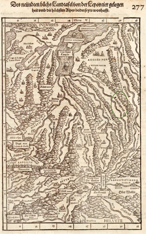
| Beschreibung | Tessin, Graubünden, Richtung Süden, 1548, «Kämifegertal» markiert | ||||
| Quelle | https://doi.org/10.3931/e-rara-5076 Zentralbibliothek Zürich | ||||
| Urheber | Johannes Stumpf, upload by Adrian Michael | ||||
| Genehmigung (Weiternutzung dieser Datei) |
|
||||
Dateiversionen
Klicke auf einen Zeitpunkt, um diese Version zu laden.
| Version vom | Vorschaubild | Maße | Benutzer | Kommentar | |
|---|---|---|---|---|---|
| aktuell | 11:43, 27. Jul. 2023 | | 1.466 × 2.348 (7,85 MB) | Parpan05 | {{Information |Description=Tessin, Graubünden, Richtung Süden, 1548, «Kämifegertal» markiert |Author=Johannes Stumpf, upload by Adrian Michael |Permission={{PD-old}} |other_versions= }} Category:Maps made in the 16th century Category:Old maps of the canton of Graubünden Category:History of the canton of Graubünden Category:Old maps of the canton of Tessin Category:History of the canton of Tessin [[Category:Gemeiner loblicher Eydgn... |
Dateiverwendung
Die folgenden 2 Seiten verwenden diese Datei: