Datei:Isle of Ewe - OS.png
Größe dieser Vorschau: 680 × 599 Pixel. Weitere Auflösungen: 272 × 240 Pixel | 545 × 480 Pixel | 871 × 768 Pixel | 1.162 × 1.024 Pixel | 1.467 × 1.293 Pixel
Originaldatei (1.467 × 1.293 Pixel, Dateigröße: 81 KB, MIME-Typ: image/png)
![]()
Diese Datei und die Informationen unter dem roten Trennstrich werden aus dem zentralen Medienarchiv Wikimedia Commons eingebunden.
![]()
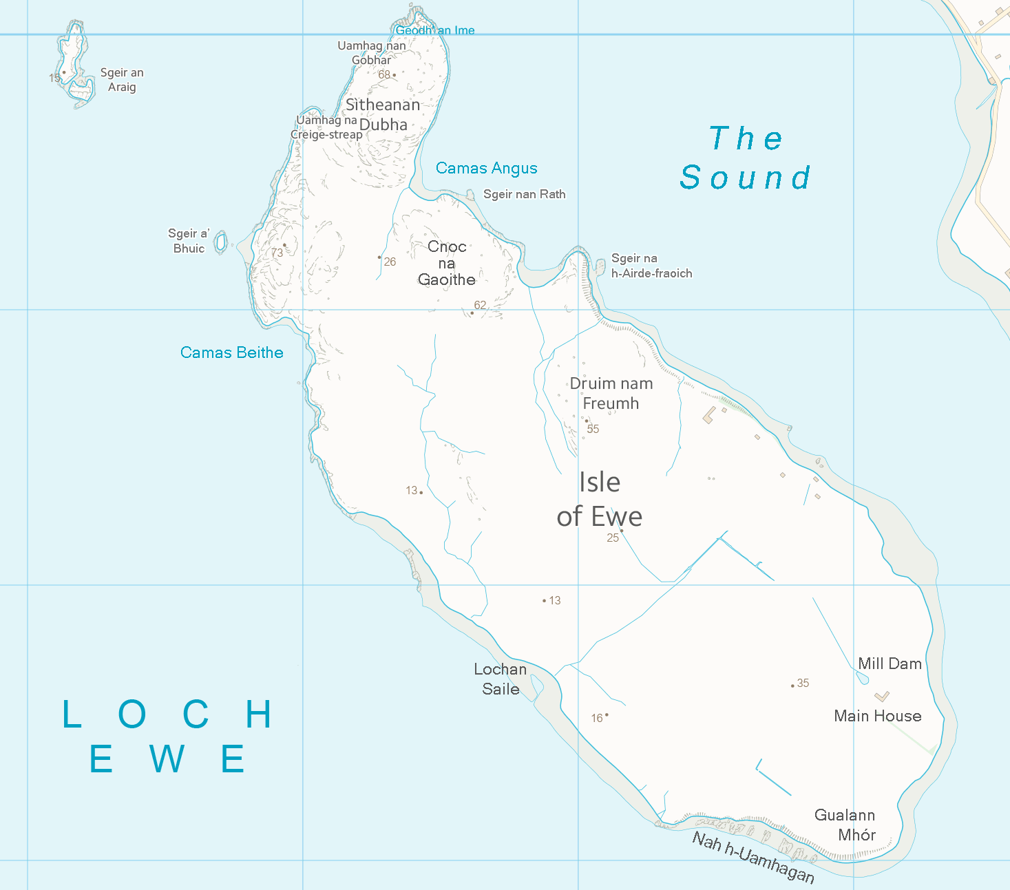
| Beschreibung | Map of the Isle of Ewe, Scotland | ||||||
| Datum | |||||||
| Quelle | Ordnance Survey OpenData (with amendments) | ||||||
| Urheber | Ordnance Survey / Prioryman | ||||||
| Genehmigung (Weiternutzung dieser Datei) |
|
_(St_Edwards_Crown).svg)
Dateiversionen
Klicke auf einen Zeitpunkt, um diese Version zu laden.
| Version vom | Vorschaubild | Maße | Benutzer | Kommentar | |
|---|---|---|---|---|---|
| aktuell | 23:41, 15. Okt. 2013 | | 1.467 × 1.293 (81 KB) | Prioryman | Added more place names |
| 22:13, 15. Okt. 2013 |  | 1.467 × 1.293 (80 KB) | Prioryman | {{Information |Description=Map of the Isle of Ewe, Scotland |Source=Ordnance Survey OpenData (with amendments) |Date=15 October 2013 |Author=Ordnance Survey / Prioryman |Permission={{OSOpenData}} |other_versions= }} |
Dateiverwendung
Die folgende Seite verwendet diese Datei:
Globale Dateiverwendung
Die nachfolgenden anderen Wikis verwenden diese Datei:
- Verwendung auf en.wikipedia.org
- Verwendung auf ga.wikipedia.org
- Verwendung auf it.wikipedia.org