Datei:BlankMap-World-v7-Borders.png
Größe dieser Vorschau: 800 × 351 Pixel. Weitere Auflösungen: 320 × 140 Pixel | 640 × 281 Pixel | 1.425 × 625 Pixel
Originaldatei (1.425 × 625 Pixel, Dateigröße: 45 KB, MIME-Typ: image/png)
![]()
Diese Datei und die Informationen unter dem roten Trennstrich werden aus dem zentralen Medienarchiv Wikimedia Commons eingebunden.
![]()
Jkkkkiu8t7fuffu
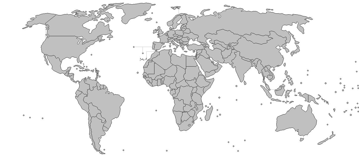
Beschreibung
| Beschreibung | Added borders to the existing world map. | ||||||||
| Datum | (UTC) | ||||||||
| Quelle | Modified BlankMlap-World-v7.png to create image | ||||||||
| Urheber | Wiz9999 | ||||||||
| Genehmigung (Weiternutzung dieser Datei) |
|
||||||||
| Andere Versionen |
Abgeleitete Werke dieser Datei: VerbreitungDänisch.png Image:BlankMap-World-v7.png |

Dateiversionen
Klicke auf einen Zeitpunkt, um diese Version zu laden.
| Version vom | Vorschaubild | Maße | Benutzer | Kommentar | |
|---|---|---|---|---|---|
| aktuell | 01:30, 8. Mär. 2018 | | 1.425 × 625 (45 KB) | Maphobbyist | South Sudan border |
| 02:11, 27. Mär. 2009 |  | 1.425 × 625 (55 KB) | Eynar | Reverted to version as of 15:33, 7 March 2009 | |
| 00:25, 21. Mär. 2009 |  | 1.425 × 625 (54 KB) | Avala | Reverted to version as of 07:01, 5 November 2007 (original version by uploader) | |
| 17:33, 7. Mär. 2009 |  | 1.425 × 625 (55 KB) | Cradel | Reverted to version as of 11:09, 13 November 2008 | |
| 03:06, 20. Nov. 2008 |  | 1.425 × 625 (54 KB) | Tocino | Reverted to version as of 13:36, 4 August 2008 | |
| 13:09, 13. Nov. 2008 |  | 1.425 × 625 (55 KB) | Eynar | Reverted to version as of 14:46, 31 July 2008 (This map is supposed to be a copy of Image:BlankMap-World-v7.png, but with borders; which is supposed to include overseas territories and dependencies, such as Azores, Madeira and Canary Islands) | |
| 15:36, 4. Aug. 2008 |  | 1.425 × 625 (54 KB) | Avala | ||
| 16:46, 31. Jul. 2008 |  | 1.425 × 625 (55 KB) | Avala | ||
| 10:02, 7. Jul. 2008 |  | 1.425 × 625 (55 KB) | Eynar | Fixed connecting pixel between Argentina and Chile. Added Canary Islands, Madeira and Azores (Canary Islands have a total area of 7447 km2, so I put their shape instead of a dot). | |
| 10:01, 7. Jul. 2008 |  | 1.425 × 625 (55 KB) | Eynar | Fixed connecting pixel between Argentina and Chile. Added Canary Islands, Madeira and Azores (Canary Islands have a total area of 7447 km2, so I put their shape instead of a dot). |
Dateiverwendung
Die folgende Seite verwendet diese Datei: