Datei:Isle of Skye UK relief location map.jpg
Größe dieser Vorschau: 562 × 599 Pixel. Weitere Auflösungen: 225 × 240 Pixel | 450 × 480 Pixel | 720 × 768 Pixel | 960 × 1.024 Pixel | 2.004 × 2.137 Pixel
Originaldatei (2.004 × 2.137 Pixel, Dateigröße: 462 KB, MIME-Typ: image/jpeg)
![]()
Diese Datei und die Informationen unter dem roten Trennstrich werden aus dem zentralen Medienarchiv Wikimedia Commons eingebunden.
![]()
| Beschreibung |
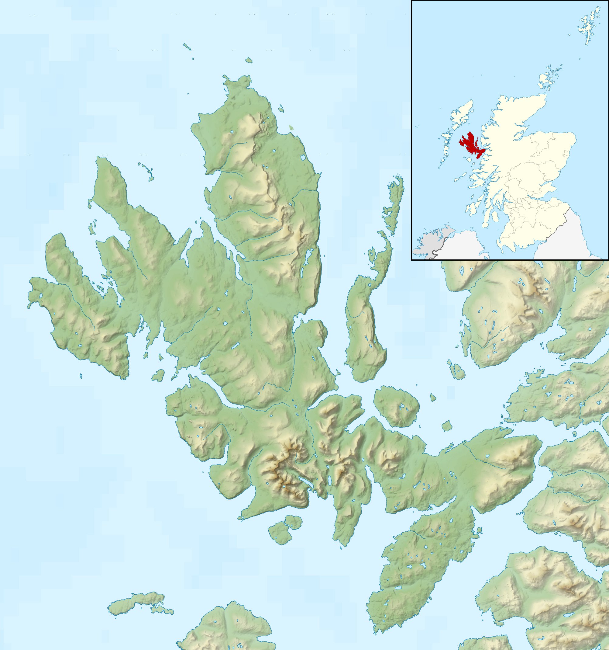
Relief map of the Isle of Skye, UK. Equirectangular map projection on WGS 84 datum, with N/S stretched 180% Geographic limits:
|
| Datum | |
| Quelle |
|
| Urheber | Nilfanion, created using Ordnance Survey data |
| Genehmigung (Weiternutzung dieser Datei) |
Diese Datei ist unter der Creative-Commons-Lizenz „Namensnennung – Weitergabe unter gleichen Bedingungen 3.0 nicht portiert“ lizenziert. Namensnennung: Contains Ordnance Survey data © Crown copyright and database right
|
| Andere Versionen |
File:Isle of Skye UK blank map.svg - Blank map  |
Dateiversionen
Klicke auf einen Zeitpunkt, um diese Version zu laden.
| Version vom | Vorschaubild | Maße | Benutzer | Kommentar | |
|---|---|---|---|---|---|
| aktuell | 02:28, 17. Dez. 2011 | | 2.004 × 2.137 (462 KB) | Nilfanion | {{Information |Description=Relief map of the Isle of Skye, UK. Equirectangular map projection on WGS 84 datum, with N/S stretched 180% Geographic limits: *West: 6.85W *East: 5.5W *North: 57.8N *South: 57.0N |Source=[[w:Ordnance Survey |
Dateiverwendung
Die folgenden 15 Seiten verwenden diese Datei:
Globale Dateiverwendung
Die nachfolgenden anderen Wikis verwenden diese Datei:
- Verwendung auf ar.wikipedia.org
- Verwendung auf ceb.wikipedia.org
- Verwendung auf cs.wikipedia.org
- Verwendung auf da.wikipedia.org
- Verwendung auf en.wikipedia.org
- Soay, Inner Hebrides
- Sorley MacLean
- Raasay
- South Rona
- Scalpay, Inner Hebrides
- Sgùrr Alasdair
- Blà Bheinn
- Wiay, Inner Hebrides
- Eilean Bàn
- Am Basteir
- Bruach na Frìthe
- Sgùrr a' Ghreadaidh
- Sgùrr a' Mhadaidh
- Pabay
- Ornsay
- Beinn na Caillich (Red Hills)
- Eilean Mòr, Crowlin Islands
- Loch Snizort
- Isle of Skye
- South Ascrib
- Harlosh Island
- Tarner Island
- Eilean Tigh
- Eilean Mòr, Loch Dunvegan
- Staffin Island
- Module:Location map/data/Scotland Isle of Skye/doc
- Beinn na Caillich (Kyle Rhea)
- Eilean Meadhonach
- High Pasture Cave
- Portal:Islands/Selected article
- Module:Location map/data/Scotland Isle of Skye
- Portal:Scottish islands/Island
- Portal:Islands/Selected article/75
- Verwendung auf fa.wikipedia.org
- Verwendung auf fr.wikipedia.org
- Verwendung auf ja.wikipedia.org
- Verwendung auf kn.wikipedia.org
- Verwendung auf nl.wikipedia.org
Weitere globale Verwendungen dieser Datei anschauen.