Datei:Interstate H201 map.png

Größe dieser Vorschau: 800 × 450 Pixel. Weitere Auflösungen: 320 × 180 Pixel | 640 × 360 Pixel | 1.024 × 575 Pixel | 1.280 × 719 Pixel | 2.205 × 1.239 Pixel
Originaldatei (2.205 × 1.239 Pixel, Dateigröße: 66 KB, MIME-Typ: image/png)
![]()
Diese Datei und die Informationen unter dem roten Trennstrich werden aus dem zentralen Medienarchiv Wikimedia Commons eingebunden.
![]()
Beschreibung
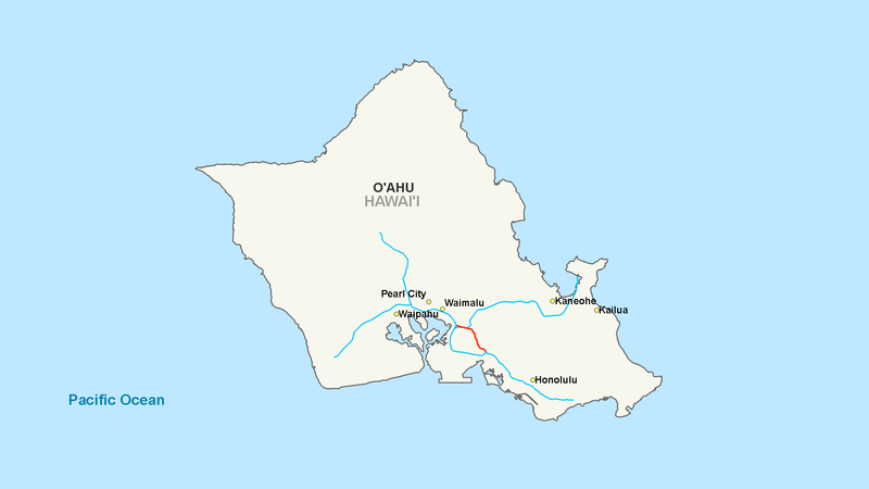
| Beschreibung | Map of Interstate H2 |
| Datum | |
| Quelle | Modified work from another author |
| Urheber | Nick Nolte |
| Genehmigung (Weiternutzung dieser Datei) |
Base map from another author |
Lizenz
| Ich, der Urheberrechtsinhaber dieses Werkes, veröffentliche es als gemeinfrei. Dies gilt weltweit. In manchen Staaten könnte dies rechtlich nicht möglich sein. Sofern dies der Fall ist: Ich gewähre jedem das bedingungslose Recht, dieses Werk für jedweden Zweck zu nutzen, es sei denn, Bedingungen sind gesetzlich erforderlich. |
Dateiversionen
Klicke auf einen Zeitpunkt, um diese Version zu laden.
| Version vom | Vorschaubild | Maße | Benutzer | Kommentar | |
|---|---|---|---|---|---|
| aktuell | 19:24, 7. Okt. 2007 | | 2.205 × 1.239 (66 KB) | Artisol2345~commonswiki | |
| 19:19, 7. Okt. 2007 |  | 2.205 × 1.239 (66 KB) | Artisol2345~commonswiki | ||
| 19:14, 7. Okt. 2007 |  | 2.205 × 1.239 (66 KB) | Artisol2345~commonswiki | {{Information |Description=Map of Interstate H2 |Source=Modified work from another author |Date=October 7, 2007 |Author=Nick Nolte |Permission=Base map from another author |other_versions= }} |
Dateiverwendung
Die folgende Seite verwendet diese Datei:
Globale Dateiverwendung
Die nachfolgenden anderen Wikis verwenden diese Datei:
- Verwendung auf es.wikipedia.org
- Verwendung auf fr.wikipedia.org
- Verwendung auf simple.wikipedia.org
- Verwendung auf www.wikidata.org