Datei:Landshut, Germany Landsat 2000.png
Größe dieser Vorschau: 800 × 527 Pixel. Weitere Auflösungen: 320 × 211 Pixel | 640 × 421 Pixel | 992 × 653 Pixel
Originaldatei (992 × 653 Pixel, Dateigröße: 1,35 MB, MIME-Typ: image/png)
![]()
Diese Datei und die Informationen unter dem roten Trennstrich werden aus dem zentralen Medienarchiv Wikimedia Commons eingebunden.
![]()
| Beschreibung |
|
|||
| Quelle | NASA Worldwind | |||
| Urheber | Fotografie: NASA | |||
| Genehmigung (Weiternutzung dieser Datei) |
|

Dateiversionen
Klicke auf einen Zeitpunkt, um diese Version zu laden.
| Version vom | Vorschaubild | Maße | Benutzer | Kommentar | |
|---|---|---|---|---|---|
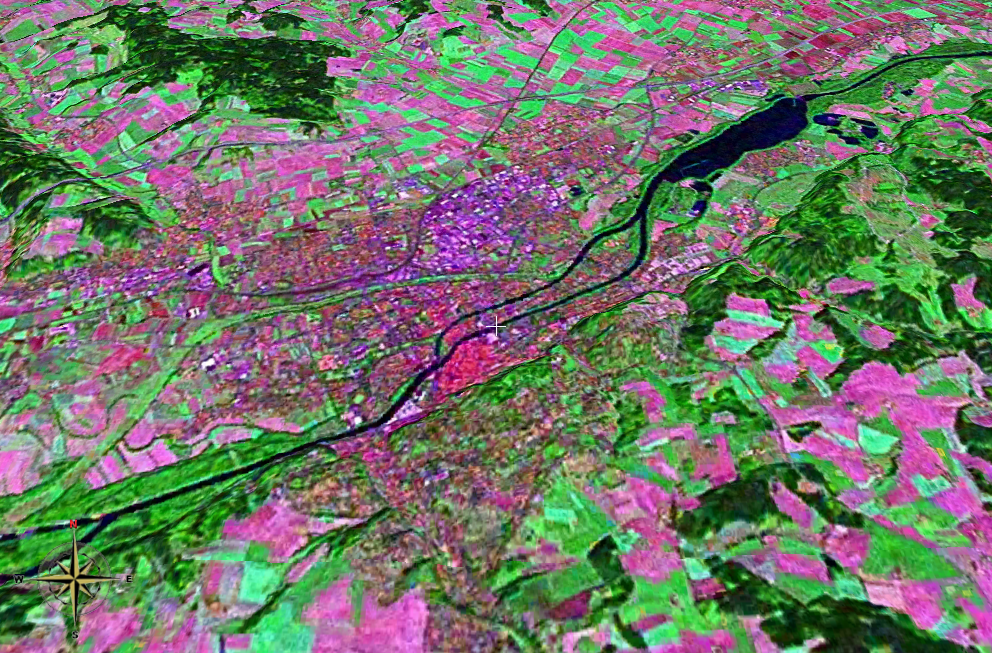
| aktuell | 20:20, 25. Nov. 2006 | | 992 × 653 (1,35 MB) | 2000 | {{Information |Description= *Landsat 2000 satellite image of Landshut, Lower Bavaria, Germany heading north, using NASA Worldwind software; *Latitude:48.54064°N, Longitude:12.15672°E *Tilt: 45° |Source=NASA Worldwind |Date= |Author= |Permission={{PD-W |
| 20:14, 25. Nov. 2006 |  | 992 × 653 (1,35 MB) | 2000 | {{Information |Description= *Landsat 2000 satellite image of Landshut, Lower Bavaria, Germany heading north, using NASA Worldwind software; *Latitude:48.54064°N, Longitude:12.15672°E *Tilt: 45° |Source=NASA Worldwind |Date= |Author= |Permission={{PD-W |
Dateiverwendung
Die folgende Seite verwendet diese Datei:
Globale Dateiverwendung
Die nachfolgenden anderen Wikis verwenden diese Datei: